vip in the city, page 47

Next stop: Hong Kong Station

After several Thursdays of hitting old Chinatown favorites, we decided to try out someplace new. Hong Kong Station on Hester, east of Bowery, opened in 2006, and was so popular that the owners opened a second location on Bayard.
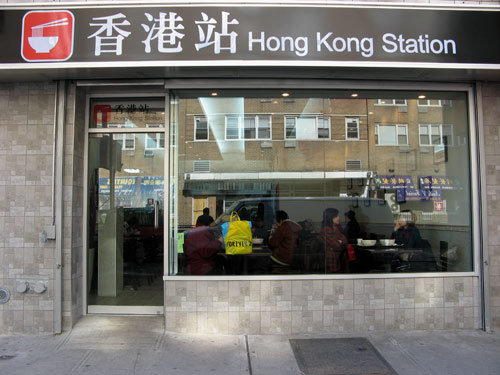
Hong Kong Station

The space – bright and slick by Chinatown standards – is meant to evoke a space inside the Hong Kong mass transit system, and at lunchtime, there is a vibe of a transportation hub, where diners with trays move in and out, and along swift-moving lines before black polo-shirt-clad servers.

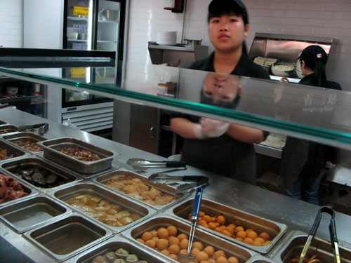
The build-your-own noodle shop offers something for everyone: a choice of nine noodles (fresh, dried, egg, rice) in rich chicken broth, and an array of toppings at a dollar apiece. At that price, experimentation is worth the gamble. Which, at times, is what it feels like; while there are signs posted around the perimeter listing the add-on offerings, there is no way to match most of the names with the ingredient compartments behind the counter, which makes for some dicey decision-making. The colorful poster on an adjacent wall provides some guidance, as will the servers, if you are genuinely lost. Best to just point at whatever catches your fancy.
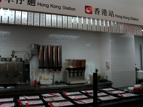
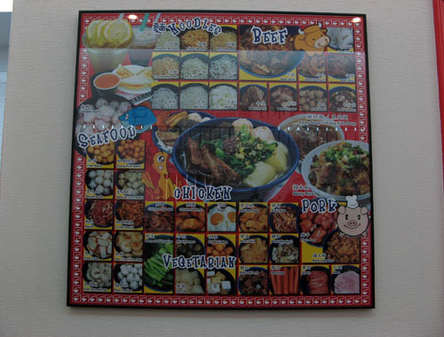
Hong Kong Station

Hong Kong Station Menu

Hong Kong Station

There’s the usual and familiar (roast pork, chinese broccoli, tofu, shiitake mushrooms) and the less so (pig’s blood, fish cakes, tripe, chicken gizzards), but with such rapid turnover, it’s all guaranteed to be pretty fresh. Also the balls: beef, fish, squid, lobster… I opted for the gai lan and the curry fish balls, and after some consideration, added on what looked like pork wrapped in tofu skin. At the end of the line, the servers stirred in one of a few varieties of sauces, a dusting of chopped scallions, and I was done. Total time elapsed: 2 minutes. Total spent: $4.00.

We took our bowls, cafeteria-style, to a table beneath walls lined with framed vintage photos of Hong Kong. Perfectly firm noodles, and the curry balls and chile sauce added a nice layer of heat and spice to the steaming bowl. What a delightful discovery! With so many options, and possible combinations, I’ll happily revisit this menu several more times.
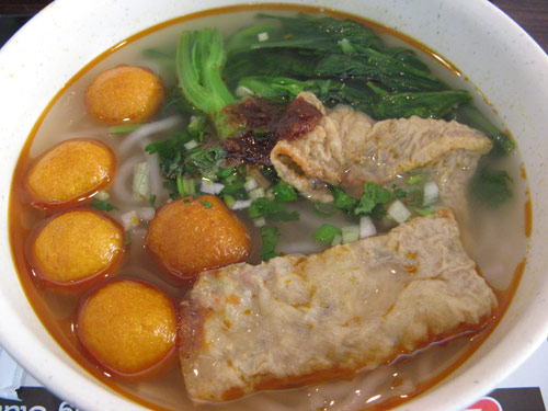
Curry Fish Ball Noodles

Forgotten New York

After my days driving through the American Southwest, it was nice to be reminded of why I love this city. Tonight, the Gotham Gazette Book Club was meeting to discuss Kevin Walsh’s recently published Forgotten New York: Views of a Lost Metropolis — a written tour of the city’s “landmarks, quiet places, and oddities.” The author was present to give a brief presentation, joined by Roberta Gratz, author of Cities Back from the Edge: New Life for Downtown, and a commissioner on the city’s Landmarks Preservation Commission.

Walsh was contracted to write the book, based on the popularity of his website “Forgotten NY,” a compendium of “forgotten, overlooked, ancient sights in New York City” that he writes and designs himself. Walsh first began researching and taking photographs for his site in 1998, launching it in 1999 after he had compiled enough information for the first few dozen pages. Since then, he has kept up a fairly regular updating schedule — a new page of research, accompanied by period and contemporary photographs and maps about every other week — with the new material coming either from tours or his own research, gathered over meandering walks through the far corners of the city. Forgotten NY is by no means Manhattan-centric; Walsh was born in Brooklyn, raised in Bay Ridge, and currently resides in Flushing. He is a stocky, unassuming figure, and is quick to admit that he has no formal training in archival research or history. His site, and the book, rose organically from his own passion. From its humble beginnings — the design was and remains purely utilitarian — the site has amassed a devoted following; Walsh and Forgotten NY have been featured in Salon and on Gothamist.
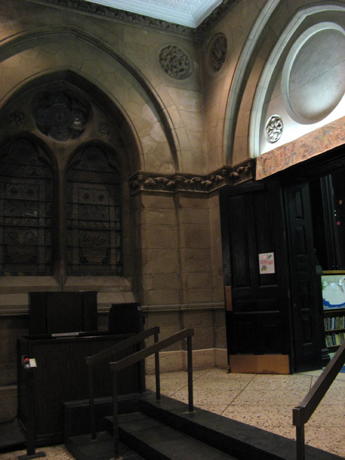
Walsh seems to promote a different kind of New York City tourism: one that values the city not for its well-known and looming landmarks, but for everything else… the ephemeral trivia and detritus of urban living.

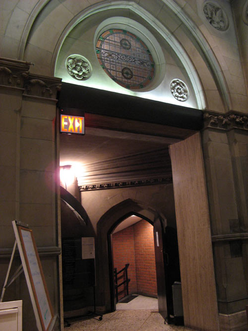
The event was being held, appropriately enough, at the Jefferson Market Branch of the New York Public Library – a site steeped in city history. The ornate Victorian Gothic building and clocktower were designed by architects Frederick Clark Withers and Calvert Vaux (who assisted Frederick Law Olmsted in the design of Central Park) and has been a fixture of the West Village since the 1870s, serving at times, as the site of a marketplace, a fire tower and a courthouse. (The adjacent jail was replaced by the New York Women’s House of Detention, which was demolished in 1974 to make way for a serene community garden. The Jefferson Market Greening was one of my favorite spots in the neighborhood when I was living on West 12th Street, predating the nuptials of Miranda and Steve on Sex and the City.)

The building where we sat that night was the center of national attention in 1906, when Harry K. Thaw was tried in the courthouse for murdering prominent architect and socialite Stanford White on the roof of Madison Square Garden – tagged by the newspapers as the “Girl in the Red Velvet Swing” trial. The notorious case was the loose basis of (Bronx Science alum) E. L. Doctorow’s novel, Ragtime, which was later adapted into a stage musical and a film.

Jefferson Market

Jefferson Market

The Jefferson Market clocktower is a regular site on the annual openhousenewyork tour, where the public is invited to climb the 149 steps to the top for 360-degree views of Greenwich Village.

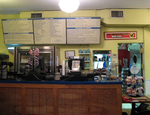
Afterwards, I met SYB a few blocks away at Peanut Butter and Co. on this, the last day to cash in our coupons for jars of peanut butter, which we’d collected at the Time Out “Back to School” festival in Union Square in September. Finally!

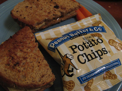
I got The Elvis, without the bacon, just like it’s served down in Graceland. I picked up my jar of “The Heat is On”: PB & Co’s “all natural peanut butter blended with fiery spices,” and was even comped my glass bottle of Diet Coke by the friendly cashier. It’s good to be back.

Peanut Butter and Co

The Elvis

Get your kicks

Well if you ever plan to motor west
Just take my way, that’s the highway that’s the best

The famed U.S. Route 66, a.k.a. The Main Street of America, a.k.a The Mother Road, once ran between Chicago and Los Angeles, but was replaced largely by the more efficient Interstate Highway System during the 1960s and 70s, after it was decided that the route was no longer relevant. US 66 was officially decommissioned on June 27, 1985. In its decades of existence, the 2300-mile stretch of road became the subject of countless songs, films, books and legends. During the Dust Bowl of the 1930s, more than 200,000 people migrated west to California along the route, supporting the economies of the communities through which the road passed, and symbolizing the highway as the “road to opportunity.” Today, there are few traces remaining; large cross-country sections were absorbed into interstates and other stretches fell into disuse. Route 66 is still the main street of many towns, and several segments of the original road survive, and have been designated National Scenic Byway, now known as Historic Route 66.
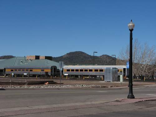
In its heyday, Williams, Arizona was a Route 66 town; nowadays, it is one of those at the heart of the revival. The town was founded in 1876, and fifteen years later, the Santa Fe Railroad lay down 50 miles of track leading from the town to the Grand Canyon National Park, insuring Williams’ claim as Gateway to the Grand Canyon.

Grand Canyon Railway

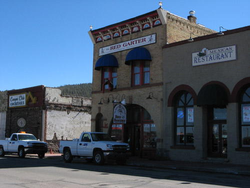
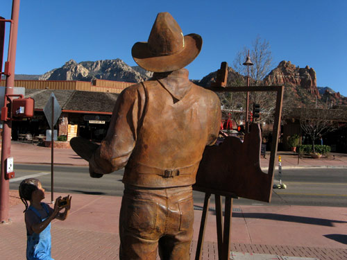
Downtown, souvenir shops offer every imaginable piece of Route 66 memorabilia: kitschy signs, coffee mugs, jewelry, shotglasses, and t-shirts. Vintage storefronts, cafes, galleries and streetlamps evoke some of the old nostalgia — most of which we were able to take in about half an hour.

Williams

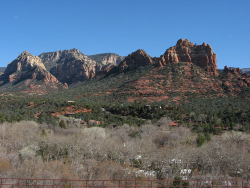
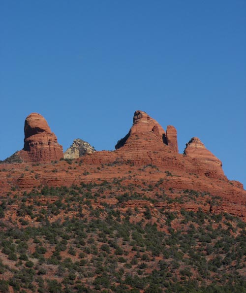
On to Flagstaff — another stop on the historic route, which we found somewhat less scenic. As we had been warned by the Grand Canyon guides during our check-out, Hwy. 89A to Sedona was closed that day due to area rock and mudslides. Roadblocks at (ironically-named) Slide Rock State Park prevented private vehicles from passing through, so we ended up bypassing the blocked-off area on the interstate, and doubling back on a different route to spend a few hours among the red rocks and vortices.

We lunched at the low-key Wildflower Bread Company, which CS and I discovered on our trip here last year. Fresh-baked breads, tasty salads and sandwiches, and unobstructed views of the colored mountains.

Sedona

Sedona

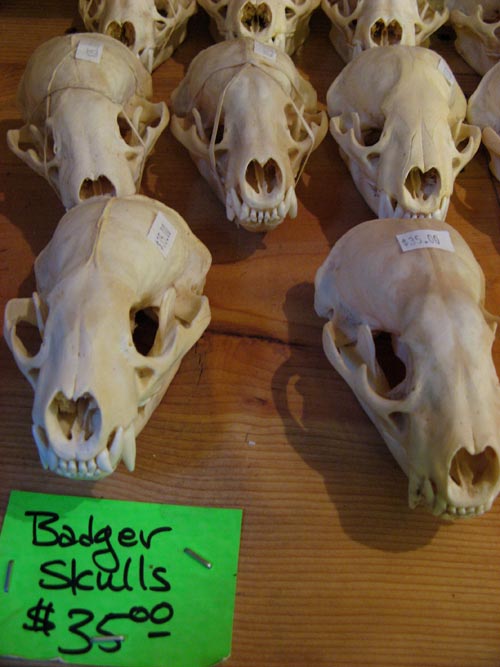
Back at the car, J and I tossed aside our heavy coats — warm sunshine at last! — and spent the rest of the day exploring the picturesque town. We must have popped into a dozen different shops and assorted “trading posts,” picking up strands of polished stones and other small souvenirs along the way… but no animal skulls.

Badger Skulls

Sedona

Last look: Grand Canyon

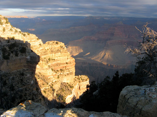
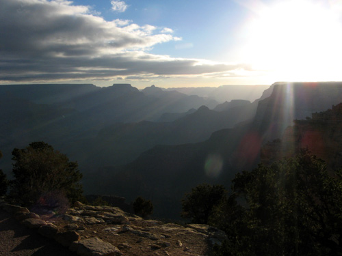
Our final day started well before dawn, as we dragged ourselves achily from our toasty beds to catch the sun’s rise over the Canyon. The Park sponsors a “Surnrise” bus tour, but J and I decided to explore for ourselves.

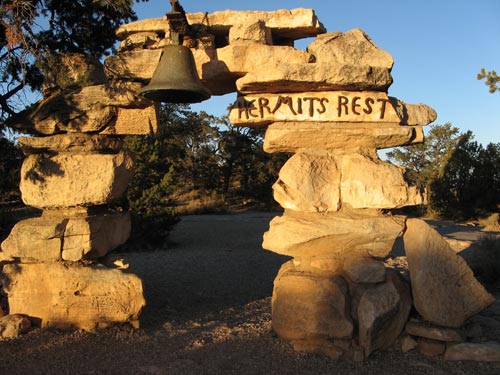
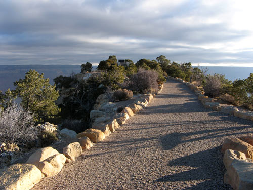
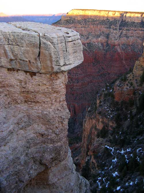
We bundled up with our warmers — thanks SYB! — and set out onto Hermit Road, which leads 8 miles west from Grand Canyon Village to Hermit’s Rest. From March through November, the road is closed off to private vehicles, but in February, we had the rare opportunity to make our own way there without the shuttle bus. Mile for mile, this stretch of road has the greatest concentration of breathtaking viewpoints in the park — each more remote and spectacular than the last. Along the way, there are eight overlooks: Trailview, Maricopa Point, Powell Point, Hopi Point, Mohave Point, The Abyss, Pima Point, and Hermit’s Rest. The official tour stopped as far west as Hopi, so beyond that point, we had the views practically to ourselves.

Hermit’s Rest is the westernmost stop on the South Rim and lies at the end of Hermit Road. It was constructed originally as a rest stop along the stage line to El Tovar. Mary Elizabeth Jane Colter designed this National Historic Landmark structure in 1914 to blend with its natural setting — a stone building set just a few feet from the rim edge, and tucked into a small man-made earthen mound.

The building now houses a snack bar and gift shop — both shuttered for the season. In fact, save for a couple of Arizona gray squirrels, we were alone.

Hermits Rest

Canyon Sunrise

At Powell Point, the site of a memorial to Civil War veteran John Wesley Powell, who, in 1869 with a party of nine men, became the first person to navigate the Colorado River through the Grand Canyon.

Powell Point

After our morning trek, we enjoyed a leisurely breakfast — J’s long-anticipated French toast — at the Bright Angel Lodge. Back at the Maswik, we packed up our things, and hit the road for the scenic drive back to Phoenix. Until next time, Grand Canyon!

Canyon Sunrise

Dinner at El Tovar

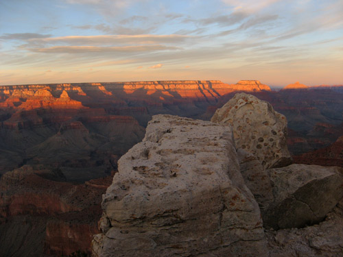
Canyon sunset:

Grand Canyon Sunset

Grand Canyon Sunset

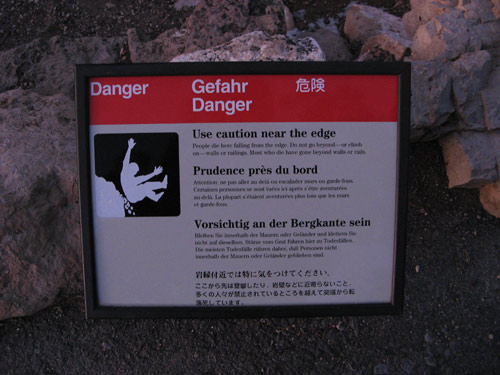
Stunning, eh? Just remember to watch your step!

Danger Sign

I had read that reservations are essential for dining at the historic El Tovar Hotel, which is generally considered the best table at the Canyon. J and I made the arrangements our first day in the park, so after our long day on the trails, we were looking forward to fine dining in relative luxury.

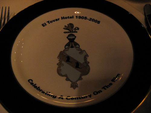
The pine and stone hotel was built in 1905, just 20 feet from the Canyon rim, and is a registered National Historic Landmark. The El Tovar originated as a “Harvey House,” one of an American Southwest chain of railway hotels and restaurants built from the 1870s by English immigrant Fred Harvey in conjunction with the Atchison, Topeka and Santa Fe Railway. The hotel was staffed then by single women recruited through newspaper ads from towns and cities across the country, who came to be known as “Harvey Girls.” The Fred Harvey Company, now Xanterra Parks & Resorts, has managed El Tovar since it opened over a century ago.

The casually elegant hotel is modeled after a European hunting lodge. It was designed by Charles Whittlesey, the Railway’s chief architect, and decorated with Native American artwork by architect Mary Elizabeth Jane Colter, who was also responsible for many of the historic structures around the Grand Canyon.

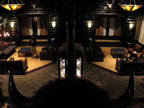
El Tovar lobby

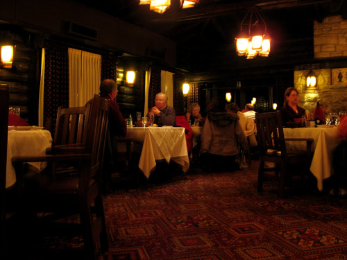
The rustic 19th-century dining room is built of hand-hewn logs, with beamed ceilings and picture windows that overlook the South Rim. After seven hours on muleback, braving biting winds and rugged terrain, our china-plated mesquite-grilled entrees and glasses of wine never felt so civilized.

El Tovar dining room

El Tovar charger

Up, up, up and out

The 6-mile ride back up to the rim took about an hour longer than the descent. Along the way, there were rest stops, during which the mules turned to face out into canyon as they caught their breaths, while we riders remained in our saddles and just enjoyed the view.

Plateau Point

Indian Gardens

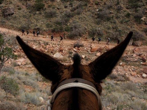
Hikers

A goat and raven, enjoying the same view:

Goat and Raven

The mules worked up quite a sweat tackling the Jacobs Ladder switchbacks, and as the temperatures dropped, the moisture on their fur turned to ice crystals.

Jacobs Ladder Rest

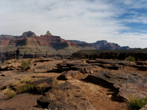
A look back at Plateau Point, the end of the trail. Hard to believe we were there just a couple hours earlier.

Plateau Point View

Mule Trail

Back at the corrals, our group dismounted before the small crowd that had gathered to catch the amusing spectacle. J and I hobbled our way back to the lodge, backs throbbing, knees buckling, bones aching,… and yes, it was entirely worth it.

Phantom Ranch in 2008?

The view of a lifetime

At Plateau Point: flat ground at last!

Plateau Point

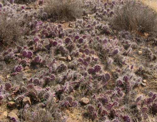
Vibrant purple cacti marked the change in climate:

Plateau Cacti

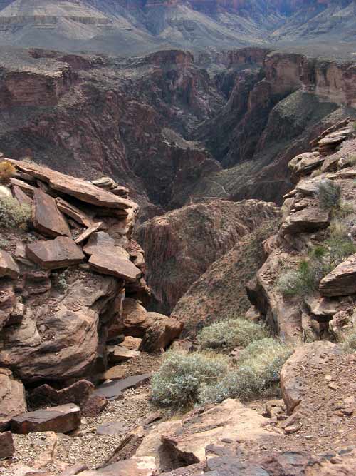
When at last we made our wobbly dismount, J and I brought our box lunches to the rocks overlooking Granite Gorge.

Plateau Gorge

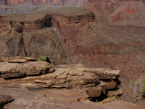
The Canyon rose up around us. A pair of jet-black ravens swirled in the sky overhead. And everywhere, there was this:

Plateau Raven

Plateau Point

Plateau Point

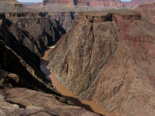
The Colorado River — 800 feet below:

Colorado River

Sassy and Cajun, et. al.

Plateau Mules

To Plateau Point

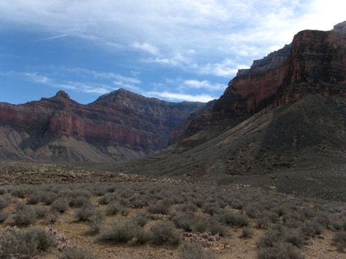
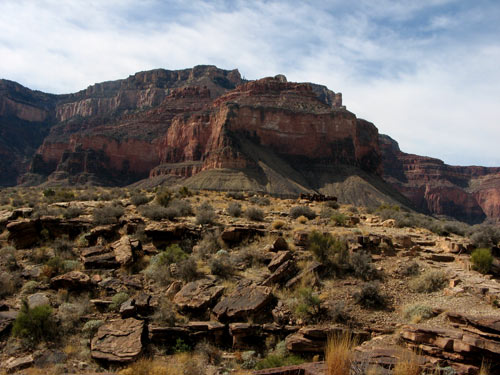
Our trip today would cover 12 miles of the Bright Angel Trail, and take us midway into the Grand Canyon to Plateau Point. We began our decent from the South Rim, 7,000 feet above sea level. The bumpy ride took us into progressively rockier terrain, shielded from the winds, where the remnants of snow and ice gradually gave way to drier and warmer air. In the winter months, temperatures around the Canyon can range by over 30 degrees, from a low of 20ºF at the rim to a high of 58ºF at the bottom.

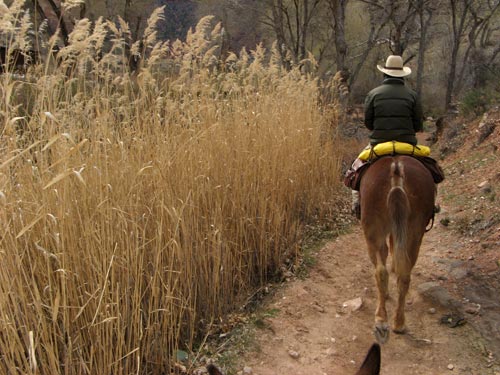
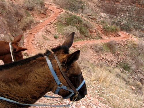
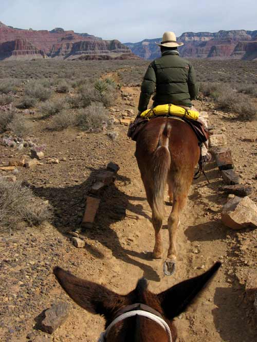
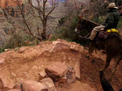
Along the way, we passed some wildlife, groups of intrepid hikers, natural and man-made shelters, and a few Native American rock drawings. Our mules plodded along solidly over the red clay stones, though not completely without stumble. The first time I felt Sassy’s hind legs buckle beneath us, I felt my heart stop in terror. But she recovered almost immediately, and hardly seemed to notice at all… unlike J, who was riding immediately behind me, “motivating” Cajun down the trail.

Bright Angel Trail

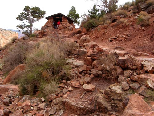
Trail Rest Stop

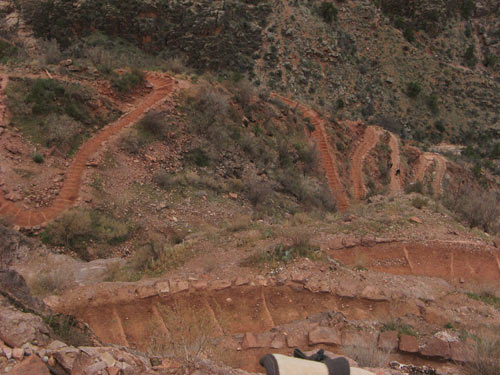
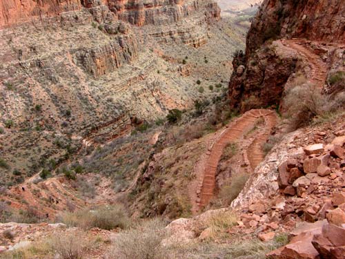
On the appoach to the steepest stretch of trail we would hit on our ride, known as Jacob’s Ladder.

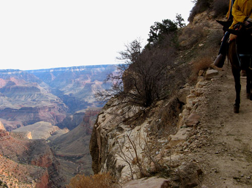
On those switchback turns, the mules would swing precariously close to the open ledge. Very disconcerting to see my legs swinging over the side, with no solid ground beneath. But completely exhilirating!

Jacobs Ladder

Jacobs Ladder switchback

Jacobs Ladder

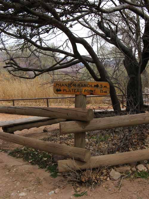
At Indian Gardens, 4.5 miles below the rim. Overnight visitors to Phantom Ranch diverged at this point to continue their trip to the Colorado River.

Trail Marker

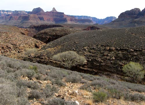
Approaching the Plateau:

Canyon Plateau

A million acres and a mule

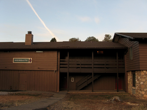
Our home at the Canyon: the Maswik Lodge.

Built in 1971, the lodge — actually a series of stand-alone cabins and two-story wood and stone buildings — lies in a wooded pine area at the southwest end of historic Grand Canyon Village, a few minutes walk from the rim. Once there, I was thrilled with our decision to stay inside the national park instead of in nearby Tusayan, or Williams (at the other terminus of the Grand Canyon Railway line.) Such an idyllic setting… and even without the Canyon-view — rimside hotel El Tovar was booked solid; Bright Angel Lodge was closed for the season — we couldn’t have asked for a much better location, or better value.

The Maswik is named for a Kachina (spirit) in Hopi Indian mythology, who is said to guard the Canyon. Our second floor room had a vaulted beam ceiling, private balcony, and a forest view of the park. We found the space clean and functional; last year’s renovations brought Kohler fixtures and heat lamps into the bathrooms — very soothing after the 40 degree drop in temperatures we experienced after leaving Phoenix.

Maswick Mesquite

We rose before dawn to prepare for our rides: refilling our brand new canteens, and piling on as many layers as possible that would still allow for some movement. What a sight! J and I made quite a fashion statement in our poofy gear and coordinating, fleece-lined knit caps — purchased on impulse at the Bright Angel gift shop the night before. After bowls of hot oatmeal at the main building cafeteria, we set off for the corral.

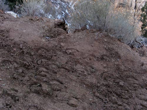
Along the way, evidence of the sure-footed friends who passed through here before:

Mule Tracks

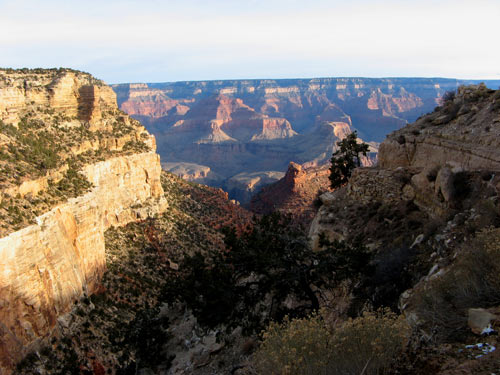
Were we really going to be riding mules halfway into this Canyon?

Grand Canyon

Growing up in New York City, J and I had precious little experience with animals of the equine variety, Central Park carriages and the occasional NYPD mounted officer notwithstanding. These mules seemed pretty docile, though, and despite their size, were far less intimidating than say, subway — or KFC/Taco Bell — rats. Being skittish city-folk, in the weeks leading up to this morning, we had already peppered the ever-patient Xanterra Parks & Resort staff with questions about their ride safety stats; we were much relieved to learn that in a hundred years of canyon rides, there has never been a fatal mule riding accident, i.e., the mules have the best record in the transportation industry. (Overzealous photographers, too-ambitious hikers, flash flood victims and airplane collisions are another matter.)

Our small group gathered in the bracing wind before a gruff-voice rugged cowboy guide for a half-hour primer on mounting, riding, steering and whipping (or “motivating” in politically-correct Parks parlance.) We were each issued a plastic switch, and stern instructions not to under any circumanstance, allow our mules fall behind the single-file group. Leaving a gap could encourage smaller critters to dash across the path in front, spooking the mule, or worse: cause the mule to gallop to catch up with its brethren — something we definitely wanted to avoid along the snowy Canyon ledge. Any objections I had about inflicting this type of “motivation” were pretty much outweighed by an inherent desire for self-preservation… and the guide assured us that with hides up to an inch thick, the mules were in fact very hardy creatures, and could hardly be hurt by our attentions. (I chose to believe him.)

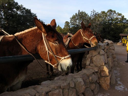
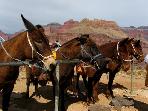
Our mules, Sassy and Cajun:

Mules in Corral

Last opportunity to back out. Once we started down that trail, there would be no turning back for seven hours. J and I consulted each other briefly and with slight trepidation in our hearts, agreed: onward, into the Canyon!

Bright Angel Trail

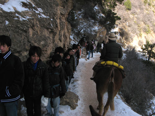
A group of bemused Japanese tourists:

Bright Angel Trail

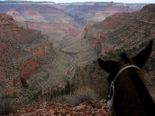
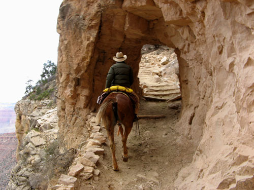
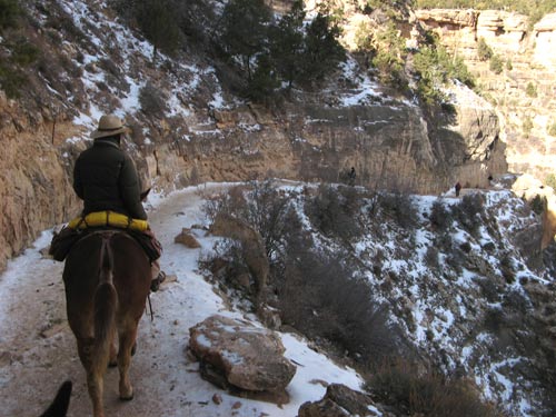
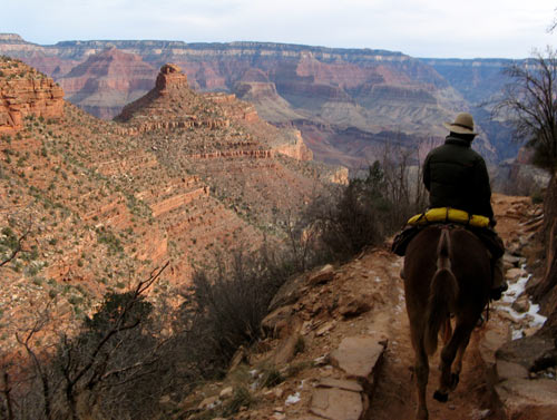
The mules are trained to walk along the outer edge of the trail to allow hikers to pass on the inside, and to avoid knocking off their riders on the outcroppings of rock above — a set-up which made for some pretty hoary intervals. But little by little we eased our white-knuckle grips on the saddle horns enough to start appreciating our jaw-dropping surroundings. Just… Don’t. Look. Down.

Bright Angel Trail

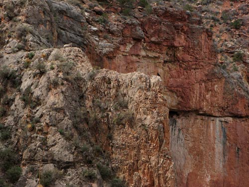
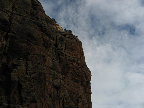
Our guide, Bill, pointed out to us the profile of a Hopi face, peering out the side of the rock wall. The Guardian of the Canyon:

Guardian of the Canyon